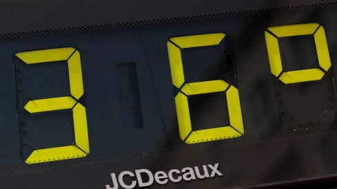
Spain faces this Sunday a new day marked by temperatures uncharacteristic of late May. The heat episode affecting a large part of the country will continue to leave values more typical of July, with maximums that will again widely exceed 30 degrees in a good part of the territory and that will reach 36 degrees in some areas of the peninsular southwest.
The meteorological situation will continue to show two completely different scenarios. While a large part of the country will experience a dry, stable, and very hot environment, the peninsular northwest will remain under the influence of a DANA that will increase instability and favor the appearance of strong storms, accompanied by hail and intense wind gusts.
The feeling of an early summer will continue to be evident from early in the day. High pressures will maintain partly cloudy or clear skies in most of the Peninsula and the Balearic Islands, with temperatures clearly above the usual average for this time of year.
The heat tightens in the south and the interior
The areas most affected by the heat will again concentrate in Andalusia, Extremadura, and areas of the peninsular interior. Seville, Cordoba, and Cáceres could reach maximums close to 36 degrees this Sunday, after several consecutive days of exceptionally high temperatures for May.
It will also be very hot in the Ebro valley and in points of the northeast. Cities like Lleida or Zaragoza will again be around 34 or 35 degrees, on a day when thermometers will easily exceed 30 degrees in a good part of the country.
The atmosphere will be especially heavy during the central hours of the day, with a high thermal sensation and an almost total absence of precipitation in the southern half and in the Mediterranean area.
Furthermore, nights are starting to leave values more typical of summer. In several Andalusian capitals, minimums could stay close to or even above 20 degrees, which is already considered a tropical night. Warm early mornings are also expected in points of Castilla-La Mancha, Aragon, or the Valencian Community.
The DANA complicates the weather in the northwest
The exception to the dominance of heat will be one more day in the peninsular northwest. The presence of a DANA to the west of Galicia will continue to destabilize the atmosphere and favor the formation of storms during the afternoon.
Galicia, Asturias, areas of Castilla y León and areas close to the Cantabrian mountain range will be the regions with the highest risk of intense rainfall. The AEMET maintains active warnings for storms in several points of the north, especially in A Coruña, where locally strong showers accompanied by hail and strong wind gusts could be registered.
Meteorological models indicate that the most complicated situation will arrive during the second half of the day, when the accumulated heat will favor the growth of evolving cloudiness and the development of more organized storms.
Although the precipitations will be very irregular, it is not ruled out that some will discharge with intensity in short periods of time.
Canarias also does not escape the warm episode
In Canarias the thermal ascent will also continue, especially in the eastern islands, where the environment will be dry and warm. The presence of calima will again be noticed in different points of the archipelago, leaving somewhat hazy skies and an even higher thermal sensation.
In some areas of the archipelago temperatures will continue to be clearly above what is usual for the end of May, thus prolonging a warm episode that threatens to extend also during the coming days.
The forecast for the beginning of next week maintains few changes. Meteorological agencies continue to anticipate abnormally high temperatures for the start of June, in a scenario that begins to consolidate the feeling of an early summer in a good part of Spain.
