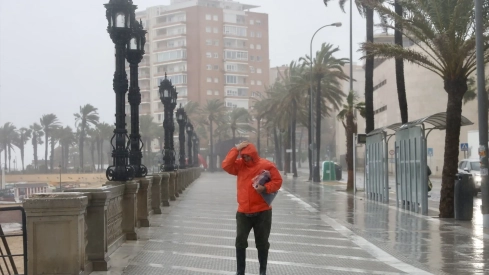
The accumulated rainfall in Spain since the beginning of the hydrological year, October 1, stands at 79 liters per square meter (l/m2), according to data from the State Meteorological Agency (AEMET) collected by Europa Press. This figure is 23% below the normal value for this period, which amounts to 102 l/m2.
The distribution of rainfall, however, has not been homogeneous, and while in some areas the accumulated amounts clearly exceed usual records, in others significant deficits persist, especially in areas of the west and interior of the peninsula.
📑 La dana Adam provocó un importante episodio de lluvias torrenciales en el área mediterránea peninsular y Baleares. En algunas zonas de la Comunitat Valenciana fue extraordinario, equiparable a temporales históricos. Acceso al informe completo 👉 https://t.co/wPybtOaKly https://t.co/0QhBqkSnKt
— AEMET (@AEMET_Esp) November 13, 2026
Areas with rainfall surplus
The largest accumulations above normal are concentrated in a large part of Catalonia and in sectors of the Mediterranean slope, with special incidence on the Levante coast, where locally values even exceed three times the normal for these dates.
In the western peninsula, rainfall in the last week has contributed to reducing deficits, to the point that accumulations already exceed normal values in areas of western Castilla y León and northern Extremadura.
Deficits persist in Galicia and western Andalusia
Despite this improvement, AEMET warns that deficits continue to be more pronounced in Galicia and western Andalusia, in addition to remaining in large areas of the peninsular interior. The situation reflects a marked territorial inequality in the distribution of rainfall since the start of the hydrological year.
Balearic and Canary Islands, with uneven behavior
In the Balearic Islands, rainfall exceeds normal values in Ibiza and in a large part of Mallorca, especially in the west of the island, while in Menorca accumulations remain below average.
In the Canary Islands, rainfall is generally above normal in El Hierro, La Palma and La Gomera, and below in Lanzarote and Fuerteventura, except in the south of the latter. In Tenerife and Gran Canaria, the situation varies depending on the area.
The most intense rains, between November 4 and 10
During the period between November 4 and 10, rainfall was more abundant in the western half of the Peninsula. In large areas of Galicia and the rest of the western peninsula, more than 40 l/m2 were exceeded, while in western Galicia and in sectors of Extremadura, more than 60 l/m2 were exceeded.
The maximums were located in the western sector of the Central System, where more than 100 l/m2 were exceeded in a wide strip covering northern Cáceres and the surroundings of the Sierra de Gredos, with specific values above 200 l/m2.
Further south, more than 100 l/m2 also accumulated in points near the border between southern Badajoz and northern Huelva and Seville.
The main observatories, with outstanding records
According to the state agency, among the accumulated precipitation in the main observatories during that period, the 89 l/m2 in Badajoz/Talavera la Real, the 78 l/m2 in the port of Navacerrada, the 64 l/m2 in Santiago de Compostela/Labacolla, the 61 l/m2 in Vigo/Peinador and the 57 l/m2 in Seville/San Pablo and in Pontevedra stand out.
Precipitation on November 11 in a large part of the Peninsula
On November 11, precipitation was recorded in a large part of the Peninsula, and the largest accumulations were again concentrated in the west of the Central System, with more than 100 l/m2 in points of northern Cáceres and the western sector of Gredos. In some points of western Andalusia, more than 60 l/m2 were exceeded.
Contact