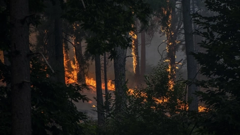
Spain has reached August as the country most affected by forest fires in the entire European Union. Fire has burned 219,665 hectares until July 29, according to estimates from the Copernicus European Forest Fire Information System. The figure represents 47.2% of all affected area in community territory during 2026.
The razed land is equivalent to 2,197 square kilometers, an area larger than the island of Tenerife. It also multiplies by 5.1 the balance recorded in Spain during the same dates last year, when 42,700 hectares had burned.
The progression in July shows the speed that the campaign has acquired. On July 22, Copernicus estimated 119,458 hectares burned. Just one week later, the balance had increased by more than 100,000 hectares, driven by the coincidence of large fires in different parts of the country.
The figure is still below the final result of 2025, when 354,793.5 hectares burned and Spain suffered its worst campaign since 1994. However, 2026 already accumulates close to 62% of that balance before August begins, one of the traditionally most dangerous months in the peninsular northwest.
Almost one in two hectares in the EU
The European Union as a whole has 464,781 hectares burned, more than double that in the same dates of 2025. Spain alone accounts for almost half of that area, well above its territorial weight within the community bloc.
It also leads the number of fires detected by EFFIS during 2026, with 382. Italy appears in second place with 335 and France in third with 330. The burned area offers, however, a clearer measure of the severity, because a few extreme fires can cause much more damage than hundreds of quickly controlled outbreaks.
Copernicus data requires an important precision. EFFIS primarily maps fires of about 30 hectares or more using satellite images, so its 382 records do not necessarily include all fires and outbreaks that occurred in Spain. The perimeters are reviewed several times as visibility improves and higher resolution images arrive, so the balance may vary between updates and differ from the national statistics of the Ministry for Ecological Transition.
Climate change aggravates fire behavior
Ignition starts a fire. Extreme heat, low humidity, wind, and the state of the vegetation then determine its ability to spread and become a high-intensity fire. This is where the effect of climate change clearly appears.
The European Environment Agency points out that warming has already increased the risk of fire in Europe, especially in southern regions. The IPCC also foresees an increase in aridity and weather conditions favorable to fire in the Mediterranean as global warming progresses.
CSIC scientist Cristina Santín explains that climate change keeps vegetation "ready to burn" more days a year. In 2026, a wet winter, which favored plant growth, combined with a relatively dry spring, a very dry June, and successive heat waves. The result has been a large amount of fuel that quickly lost its moisture.
Climate explains a decisive part of the risk, although it acts together with other factors. Rural abandonment, the loss of agricultural and livestock uses, and the continuity of large masses of vegetation make it easier for flames to travel across the territory without encountering sufficient discontinuities. The lack of forest management multiplies the problem when the forest reaches summer extremely dry.
Professor of Forest Engineering Víctor Resco de Dios estimates that Spain should manage around one million hectares through planned actions at different scales. These include corridors capable of stopping large fires, interventions at strategic points, and municipal plans to protect towns, urbanizations, and isolated homes.
Do you want us to continue investigating the topics that others keep silent about? We want to be free and independent, but we need your help. Any contribution helps us to move forward. Thank you very much for being there.
August keeps the threat open
The precedent of 2025 forces us to maintain vigilance. That year, the burned area went from 47,198 hectares on August 5 to 367,520 just two weeks later. The coincidence of a heat wave, dry storms, and numerous outbreaks exceeded the response capacity in several territories.
AEMET has launched this year a danger index that combines temperature, humidity, wind, and rain with the state of vegetation, soil moisture, and land uses. The tool offers information with a one-kilometer resolution and allows for better localization of areas exposed to very high or extreme levels.
The evolution of the coming weeks will depend on temperatures, precipitation, wind, and the appearance of new outbreaks. Spain enters August with 219,665 hectares burned, very dry vegetation in large areas, and the most delicate period of the campaign still open in the peninsular northwest.
Add ElConstitucional.es as a preferred Google source for free.
Stay informed about all the latest breaking news with the best information. Against disinformation, for democracy and social rights.
